The Connecticut Department of Transportation plans to do maintenance work on the Arrigoni Bridge, to alter the St. John's Square intersection, and the Rapallo/Main Street intersection, and to make Rapallo Avenue one-way going west. There will be a public meeting on March 10, at 6:30, in Macdonough School.
Beth Emery contributed the following analysis and opinion, which follows her article with background documents (Part I). Emery is a former Planning and Zoning Commissioner, and current member of the Complete Streets Committee.
Beth Emery contributed the following analysis and opinion, which follows her article with background documents (Part I). Emery is a former Planning and Zoning Commissioner, and current member of the Complete Streets Committee.
In Part II, she interprets the plan from the perspective of all users of streets and sidewalks. She has concerns about pedestrian and bicyclist safety, and the effect of the plans on the vibrancy and sustainability of our downtown
---------------------
I understand from reading the documents on CTDOT BikePedDashboard that all projects are required to comply with Complete Streets protocols and the ATP. This is a great opportunity for the City of Middletown, CT DOT, and resident stakeholders to work together and come up with a Complete Streets plan for this area that is truly rigorous and integrated with all the principles the documents on the dashboard prescribe and more. I urge the CTDOT and Middletown to review the plans put into place prior to 2019 (but then not scheduled for construction until 2020) so that they reflect current DOT standards. This project has the potential to be a shining example of what can be done and done well when state and national complete streets protocols are followed. Main St Middletown is a vibrant downtown area, adjacent—in very close proximity—are neighborhoods that will remain, and hopefully thrive if CTDOT plans provide for them to do so.
Often “Complete Streets” is thought of as a transportation issue to make a city more bike and pedestrian friendly, and that it is, but it is also much, much more! Complete Streets initiatives are about live-ability and sustainable living concerns issues, which are a top priority for myself and I believe man Middletown residents—particularly those who live, work, visit, and go to school in the neighborhoods in and around these project areas. Bike-ability and walkability are critical for the neighborhoods these projects affect, and for all who choose to go, or have no option except to go car free.
Questions, Comments, Observations on Complete Streets
The three plans being discussed at this meeting should provide for:
a) The safety of all pedestrians (all pedestrians—mothers with carriages, wheelchair users, children, the frail, and those disabled but not in a wheelchair) and those who then become transit users—as a primary objective given the density of our urban/downtown location on state road 66, Middletown’s downtown, Main St.
Observation - The current set of plans do not appear to take into consideration the economic and health/safety, and social justice concerns of pedestrians, the neighborhood, and the city’s downtown. In as much as observed speed in adjacent neighborhoods has been consistently complained about as excessive, the plan should provide for traffic calming, and slower traffic on Main St., Grand Ave., Spring St., and Rapallo Rd. The plan must assure that the speed of traffic does not increase, only that the movement of traffic improves with the changes—in fact I would hope traffic speeds decrease. The DOT plans should add to the vibrant quality of life in downtown, and in no way detract from this vibrancy.
b) The safety of bicyclists.
Observation - The three plans do not include the word bicycle or any infrastructure consideration or traffic related studies on the impact to a bicyclist, let alone any plans to improve conditions for bicyclists. Arguably, the plans will make the intersections more dangerous for bicyclists.
c) Considerations of what a Complete Street can and should look like.
Observation - The current design plans appear to give the motoring public top priority to get somewhere in less time and more efficiently above the needs of those who live, work, visit, bike, walk, and go to school in these project areas, though your documents state that all users be considered equally.
Considerations on Complete Streets Design Criteria
· Please substantiate what speed limits the plans are designed for.
· Please describe what speed reduction mechanisms and traffic calming provisions are embedded in all of the plans along Main St. to keep the speed of motorists at the speed limit.
· Please describe how and if lane width management is being used throughout the plan areas as a traffic calming measure.
· Please describe any new street trees installations within the project areas as trees themselves can stand in as a traffic calming measure. Describe quantities and locations. If there are none; why not?
· Please describe those features that substantiate how the CTDOT plans are designed with consideration for aesthetic elements, including materials, lighting, landscaping, and street furniture. Note that a complete street has aesthetically pleasing surroundings–such as public art, well-maintained landscaping, and human-scale architecture to enhance the experience of using a street and make it a place where people want to be.
· Please describe numerically the curb radii at each crosswalk location in this plan, particularly at Washington and Main Streets.
o Note that NACTO states that Curb radii that are designed to accommodate the largest possible vehicle at its highest possible speed, degrade the pedestrian environment and result in longer crossing distances. They can also create a danger zone for bicyclists that end up in the blind spot of motor vehicles and large trucks. Corner radii directly impact vehicle turning speeds and pedestrian crossing distances. Minimizing the size of a corner radius is critical to creating compact intersections with safe turning speeds for cyclists and pedestrians. While standard curb radii are 10–15 feet, many cities use corner radii as small as 2 feet. (In urban settings, smaller corner radii are preferred and actual corner radii exceeding 15 feet should be the exception.)
o Please substantiate turning speed calculations and how they comply with CTDOT design criteria at the intersections of all three plans.
o NACTO notes that turning speeds should be limited to 15 mph or less. Minimizing turning speeds is crucial to pedestrian safety, as corners are where drivers are most likely to encounter pedestrians crossing in the crosswalk.
<<<<<<<<more below the break>>>>>>>
checklist forms are public document. Where can they be found on the CTDOT website? Did the projects fill out this form as required, if not, why not? Will the public be provided an opportunity to discuss the results of the BPTNAs once there has been an opportunity view them?
Observations, questions, comments, suggestions for addressing the needs of, and IMPROVING BICYCLE INFRASTRUCTURE ON THE ARRIGONI BRIDGE APPROACH SPANS.
· The Bicycle Planning Network (PDF) document on the BikePed-Dashboard portrays the bridge as a planned trail. Therefore it is very puzzling why CTDOT has not provide for any infrastructure improvements or plans for safer bicycle access on either side of the bridge.
· The Implementation Tier graph shows, as orange, the bridge area on pg 24 of ATP; yet on pg 47 of the ATP appendix the map has the same title, but the map looks different; what map is correct or are they meant to explore 2 different concepts? Most importantly, those maps and the tiering system used to guide build-out of bicycle facilities suggest that the bridge area is high priority or close to highest priority for planning for and accommodating bicyclist safety, yet CTDOT provides no plans for improvements on either side of the bridge.
· Page 25 of the ATP under trail planning states that “Closing the gaps in the trail network continues to be a significant priority of CTDOT.” “CTDOT is particularly committed to closing gaps in the trails of statewide and regional significance.” And the Airline Trail is considered significant. So while the bridge itself does not need to be built, it makes perfect sense to follow published ATP and the Tier guidelines and include much needed infrastructure improvements to both sides of the “trail” sidewalk in Middletown and Portland. Please plan for the connections of the Airline Trail and East Coast Greenway connections marked as planned trails on the maps.
· There is no current “preferred local alternative” (a phrase the ATP uses to assess need) to get across the Connecticut River. Thus, it is of paramount importance that bicycling commuters, club riders, and multi-use trail (MTU) riders all have safe access, and planned for safe access to the bridge from both the Portland and Middletown sides.
· Please provide well designed curb-cuts going onto and coming off the bridge that will accommodate bicyclist and pedestrians sharing this MUT. They need to be wider and accommodate through traffic as well as bicycle traffic getting off at Spring St, bicycle traffic getting on the bridge from N. Main St.; same with the intersections still on the bridge span on the Portland side of the bridge.
· At the intersections near-by and on the bridge spans, please provide signage, flashing lights (or something attention grabbing) to gain motorists attention. Please make it safer in the area where the bicyclist needs to merge with motor vehicle traffic when getting off and on the sidewalk of the bridge.
· Regarding the maps, The CTDOT needs to propose some revisions or actions to re-establish public facing consistency with stated plans.
· No matter what the traffic count showed of bikes and pedestrians in the design studies, (bikes where included in the traffic counts, yes?) Economic growth in CT, downtown vitality, and use of the bridge to connect two MUT’s will increase use of the bridge.
Observations, questions, comments, suggestions for addressing the needs of, and IMPROVING BICYCLE INFRASTRUCTURE WITHIN THE ST. JOHN’S SQUARE AREA, RAPALLO AND GRAND, AND WASHINGTON ST. INTERSECTIONS.
· The need to plan for bicycling infrastructure was addressed by members of the public in the 2018 meetings. Why then where no change made to consider bicyclists using the bridge and the roads in the project plans?
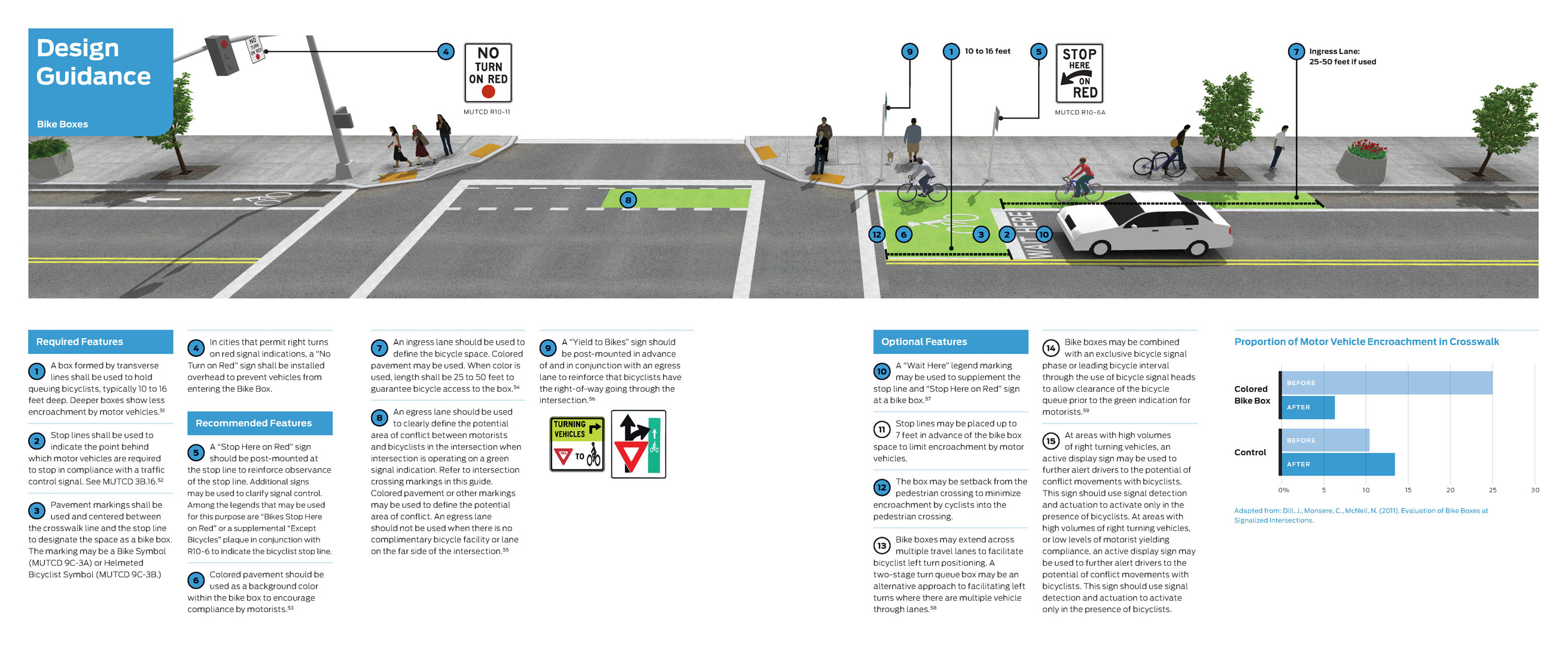
· Perhaps a bike box in St John’s Square area in front of O’Rourke’s can help with the movement of cyclists heading east-bound towards Portland.
· Please create bike lanes, or provide pavement markings or signage—that bikes share the lane—where the sidewalk ends and bikes must merge with traffic on either side of the bridge.
· The plan needs infrastructure improvements—at all intersections where work will be done.
· CTDOT should substantiate the dates, locations and times of day when traffic studies were done, and where bicyclists were counted if at all. Please provide the data from traffic studies to the public for review.
· Please explain how do all three projects comply with and complement the CT Bicycle Network Facility Analysis: Priority Tier Classifications (PDF)
The following is reprinted from CTDOT’s web site; Route 9 Middletown “Removal of Traffic Signals on Route 9 and Main Street Improvements”. My questions are imbedded with
Red Text
· Project 0082-0312 is for the rehabilitation of the Arrigoni Bridge approach spans carrying Routes 17 and 66 in Middletown and Portland. This project will take place simultaneously with the Saint John’s Square/Main Street intersection operational improvement project in Middletown. Work on the Arrigoni approach spans consists of replacing the bridge decks, superstructure steel upgrades and repairs as well as substructure repairs to improve the overall structural capacity, reliability and integrity of the bridge. Additionally, a new protective fence system ranging in height from 8 to 12-feet, will also be installed on both the approach and main spans as part of this project. Work on St. John’s Square and Main Street consists of the geometric realignment of the intersection to improve safety and operational efficiency, as well as the addition of two turn-lanes.
Additional questions
· Is this meeting of March 10, 2020, what I believe to be the required public hearing for any and all CTDOT road projects?
· Since this project is “new” after January 2019, I am surprised that it has not under-gone the BPTNA provisions, if they have, they do not comply at all with the document provisions and that of ATP guidelines and Tier priorities of CT DOT.
· Why do traffic guard rails always have a smooth edge, in this case on the bridge and the approach spans to protect cars, but the cyclist and pedestrians, get the sharp rough dangerous edges to fall into if a crash occurs between bikes and or bikes and peds?
· Will signage and online notification be provide to bicycle traffic using the bridge, when the sidewalk is closed, so they can know and plan ahead for morning and evening bicycle commutes?
Ø Project 0082-0320 is proposed to reduce congestion and improve safety (safety for who, motorists, pedestrians or both? Bicycle usage, safety and infrastructure in St. John’s Square and bridge merge area is not addressed at all. This is a shameful oversight.) at the intersection of St. John’s Square and Main Street with the addition of two turn lanes as well as geometric realignment. Hartford Avenue, which becomes Saint John’s Square at its intersection with Main Street, operates as an on and off ramp for Route 9. It currently intersects Route 9 at a three-way signalized intersection, providing both northbound and southbound access to and from Main Street. The four-lane cross section of St. John’s Square intersects Main Street in a curve, creating a large roadway footprint.
The proposed work includes the addition of two turn lanes on St. John’s Square westbound. Widening will occur on the southbound side in order to incorporate the two new lanes as well as a proposed median island. In addition, geometric improvements will be made to the intersection by way of median islands on Main Street that will serve to normalize the alignment. Rapallo Avenue, which currently consists of one lane in each direction and on-street parking on both sides of the street, will be converted into a one-way street in the westbound direction with limited on-street parking. In anticipation of the reduction of on street parked cars, what traffic calming features are planned? How does making a street one-way and removing parking allow this street to remain a neighborhood with no further consideration of completing the street? What design features are planned to meet the Complete Streets design criteria for this neighborhood? All sense of neighborhood disappears when this becomes a one-way street if current design plans stand as is, and traffic speeds are guaranteed to increase. Grand Street will be widened for the addition of an eastbound turn lane. I do not see this work displayed as happening at this time in the engineer’s drawings. When the time comes consider bicycles in the planning. Widening will also occur at the northwest corner of the intersection of Main Street and Washington Street to accommodate a dedicated right-turn lane. Please see my discussion of turn radii above. The right-hand turn lane also poses potential dangers for cyclists if not engineered properly.
The proposed work includes the addition of two turn lanes on St. John’s Square westbound. Widening will occur on the southbound side in order to incorporate the two new lanes as well as a proposed median island. In addition, geometric improvements will be made to the intersection by way of median islands on Main Street that will serve to normalize the alignment. Rapallo Avenue, which currently consists of one lane in each direction and on-street parking on both sides of the street, will be converted into a one-way street in the westbound direction with limited on-street parking. In anticipation of the reduction of on street parked cars, what traffic calming features are planned? How does making a street one-way and removing parking allow this street to remain a neighborhood with no further consideration of completing the street? What design features are planned to meet the Complete Streets design criteria for this neighborhood? All sense of neighborhood disappears when this becomes a one-way street if current design plans stand as is, and traffic speeds are guaranteed to increase. Grand Street will be widened for the addition of an eastbound turn lane. I do not see this work displayed as happening at this time in the engineer’s drawings. When the time comes consider bicycles in the planning. Widening will also occur at the northwest corner of the intersection of Main Street and Washington Street to accommodate a dedicated right-turn lane. Please see my discussion of turn radii above. The right-hand turn lane also poses potential dangers for cyclists if not engineered properly.
Additional questions, concerns
· Along Dekoven Drive Middletown Public Works has installed bike sharrows, specifically to accommodate cyclists wishing to avoid Main St traffic. Making Rapallo Ave. one way changes the option to avoid parts of Main St. depending on what direction the cyclist is travelling.
· Will CTDOT consider a bike lane on Rapallo. Or bikes Share Road signage. Or sharrows or a combination of the above.
· If you think driving a motor vehicle through the Rapallo/Grand intersection is dangerous and difficult, please consider the needs of a bicycle driver navigating that intersection. Will the new plan make it less or more dangerous for a cyclist?
· Will all 3 intersections be a no turn on red intersection? If not, please detail how potential conflicts motor vehicle conflicts are mitigated.
· Please quantify the safety improvements and their effect at all 3 intersections regarding a.) Pedestrian safety b.) Bicyclists safety and c.) Motor Vehicle safety?
· Please explain what systems of road crossing will be used by pedestrians. Will there be diagonal crossings or not? Will there be no turn on red signage? Exactly what can a pedestrian bicyclist, and motorist expect at the intersections which cross walk buttons and timing?
· Bicyclists and sometimes motorcyclists are unnecessarily delayed and put at risk by demand-actuated traffic signals that will not turn green for the cyclist. If they will be in use at any of these intersections please adhere to Public Roads - Making Signal Systems Work for Cyclists , May/Jun 2008 - FHWA-HRT-08-004
· Project 0082-0319 is proposed to enhance pedestrian safety and reduce vehicular congestion by constructing sidewalk bump-outs to shorten pedestrian crossing distances along Main Street. I ask again why bicyclist where not considered in any of these plans, or safety accommodations considered? Main Street is a north-south running four lane arterial with on-street parking on both sides of the road. It is the main arterial for downtown Middletown, providing access for pedestrians (do you consider wheelchair users as pedestrians) cyclists, and vehicles to many restaurants and shops. Due to the on-street parking, current crosswalk distances are between 80 and 96 feet, creating long pedestrian phases which in turn lead to poor vehicular levels of service. This project will construct sidewalk bump-outs to effectively shorten the required crossing distance for pedestrians. A total of 18 bump-outs are proposed that will reduce the pedestrian crossing distances to approximately 55 feet, shortening the pedestrian phase. This will reduce the overall delay experienced at each intersection and improve the level of service. The presence of on street parking reduces the sightlines between a waiting pedestrian and vehicles on Main Street. The bump-outs will relocate the sidewalk ramps even with the end of the parking stalls, improving the visibility for the pedestrian, bicyclist, and motorist and increasing safety.
I look forward to having discussion with CTDOT and Middletown officials on the material I have presented here.
No comments:
Post a Comment